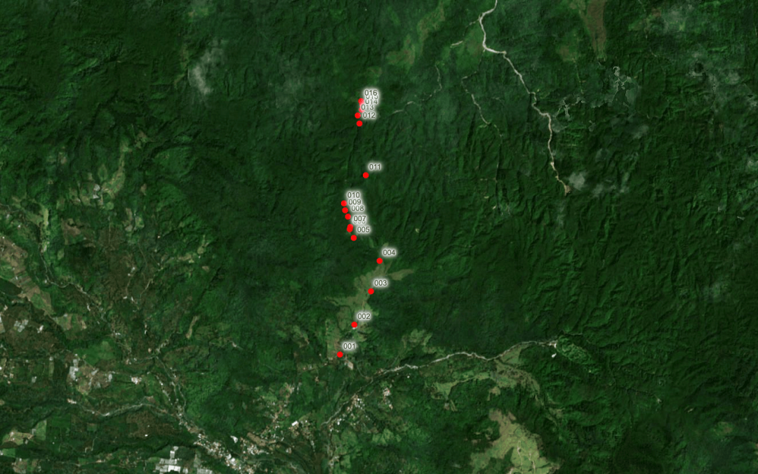
These are the Maps & GPS Coordinates we gathered in Expedition #1 during our Panama Expedition in July 2021. Maps and Coordinates from Expedition 2 will be published separately.
To read the full Overview article, please visit: Panama Expedition 2021 – Complete Overview
| Point | Lat | Long | Elevation (Meters) | Expedition Photo | Description/Notes |
|---|---|---|---|---|---|
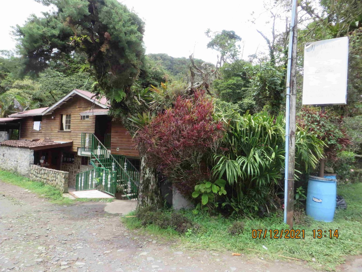
| 001 | 8.808340961 | -82.427629 | 1,267 | 0577.JPG | Il Pianista Restaurant (Start of El Pianista Trail) |
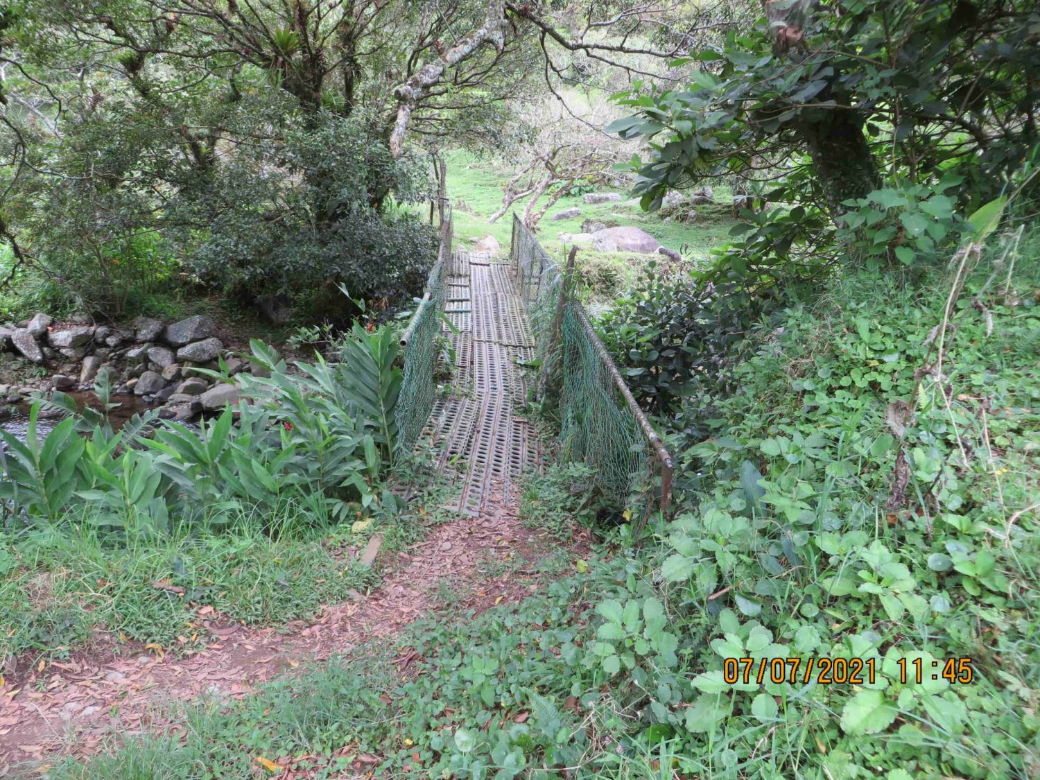
| 002 | 8.812717991 | -82.42545499 | 1,309 | 0067.JPG | Little Bridge – Early On El Pianista Trail (Reference Case Photo #476) |
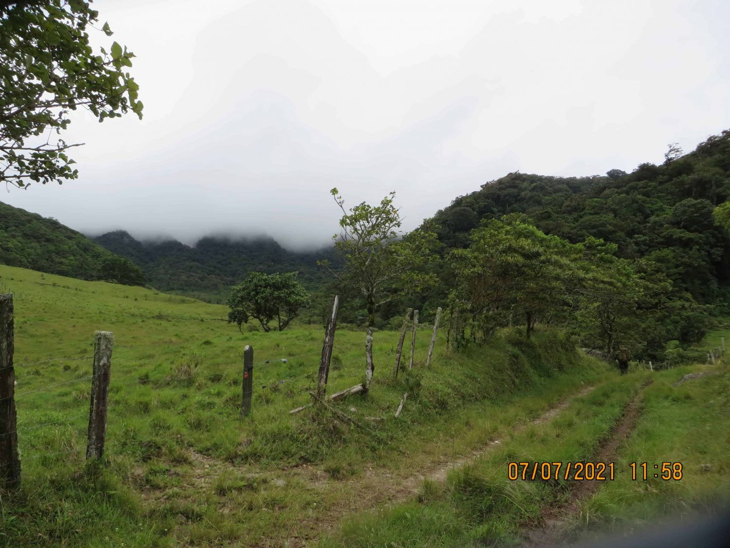
| 003 | 8.817671025 | -82.42299196 | 1,387 | 0068.JPG | Farmland, Pastures & Livestock |
| 004 | 8.822132964 | -82.42167701 | 1,420 | 0080.JPG | Entrance to Jungle |
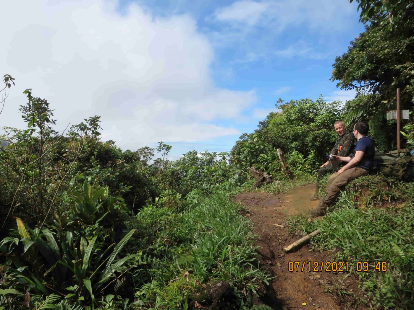
| 005 | 8.825554037 | -82.42553 | 1,497 | 0548.JPG | Trail Splits, Right Continues El Pianista Trail, Left Does Not Reach Mirador |
| 006 | 8.826842001 | -82.42615596 | 1,522 | 0540.JPG | Residential Homes & Buildings |
| 007 | 8.827174008 | -82.42606401 | 1,531 | N/A | Barbed Wire Fence Runs Along Trail For ~100M |
| 008 | 8.828638997 | -82.42639703 | 1,556 | N/A | Farm With Dogs |
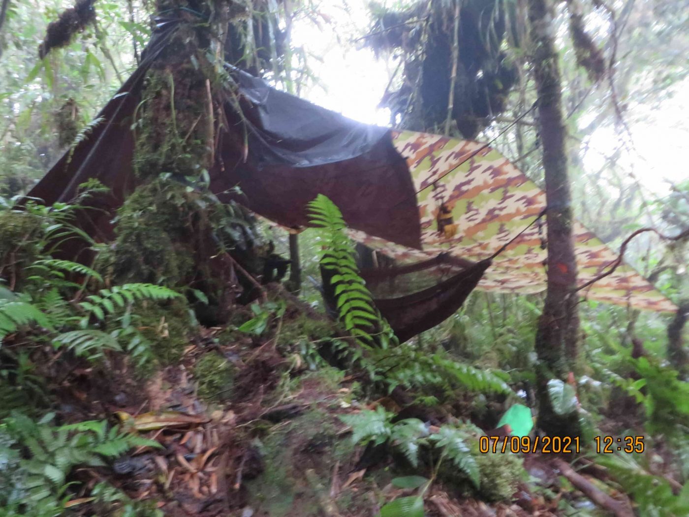
| 009 | 8.829601994 | -82.42679701 | 1,664 | 0093.JPG | First Camp Location |
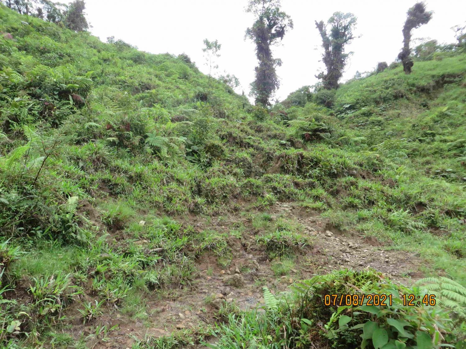
| 010 | 8.830626011 | -82.42697898 | 1,886 | 0538.JPG & 0532.JPG | Landslide & Small River |
| 011 | 8.834803971 | -82.42374097 | 1,874 | 0524.JPG | Mirador |
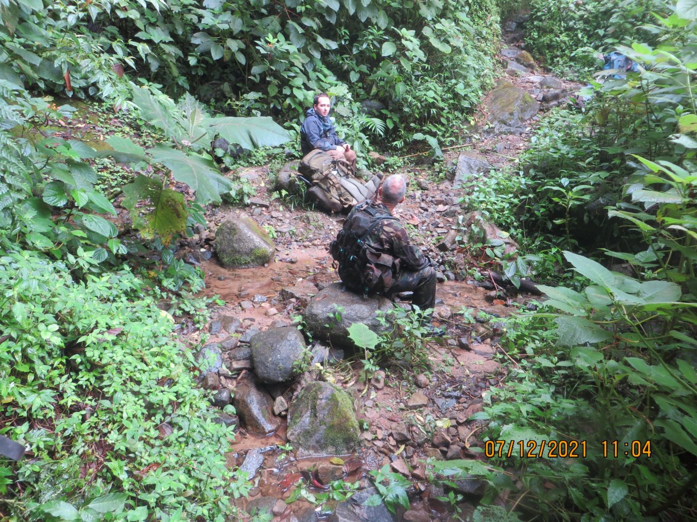
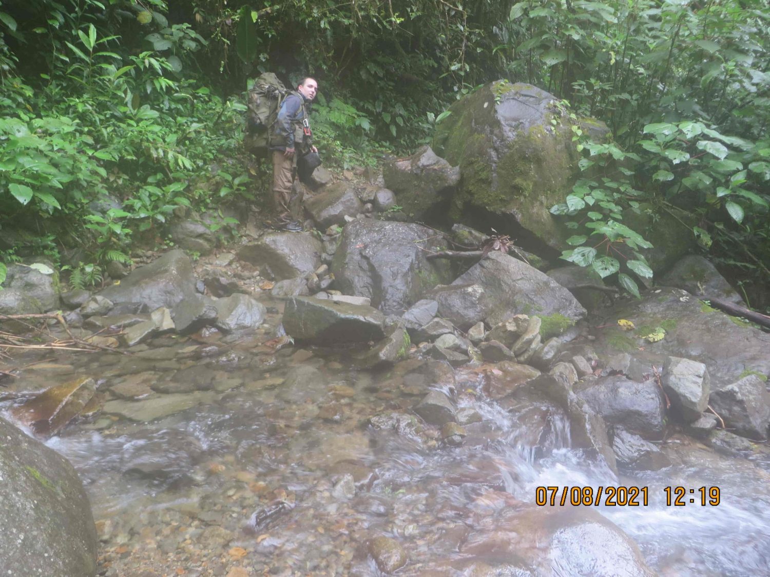
| 012 | 8.842443991 | -82.42469198 | 1,620 | 0107.JPG | River 1 – Post Mirador |
| 013 | 8.843631037 | -82.42496196 | 1,610 | 0110.JPG | River 2 – Post Mirador |
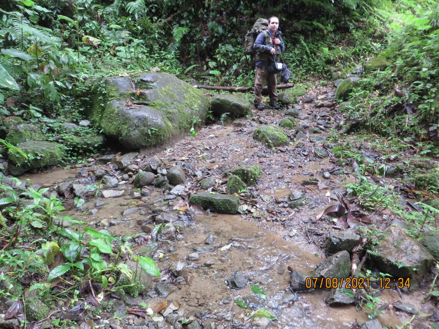
| 014 | 8.84449102 | -82.42434002 | 1,625 | 0113.JPG | Small mountain between 2 rivers. Small trails breakoff but end quickly |
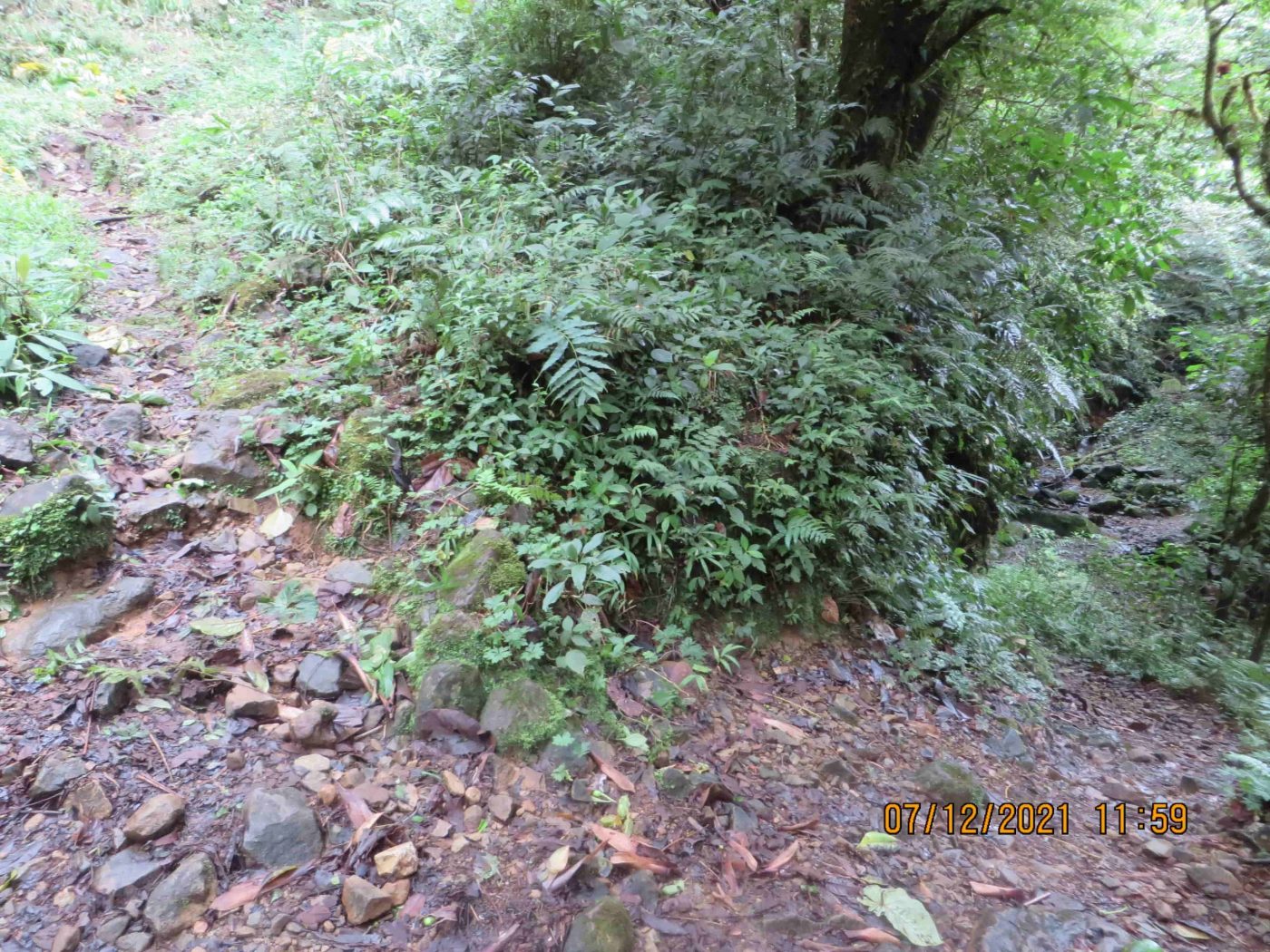
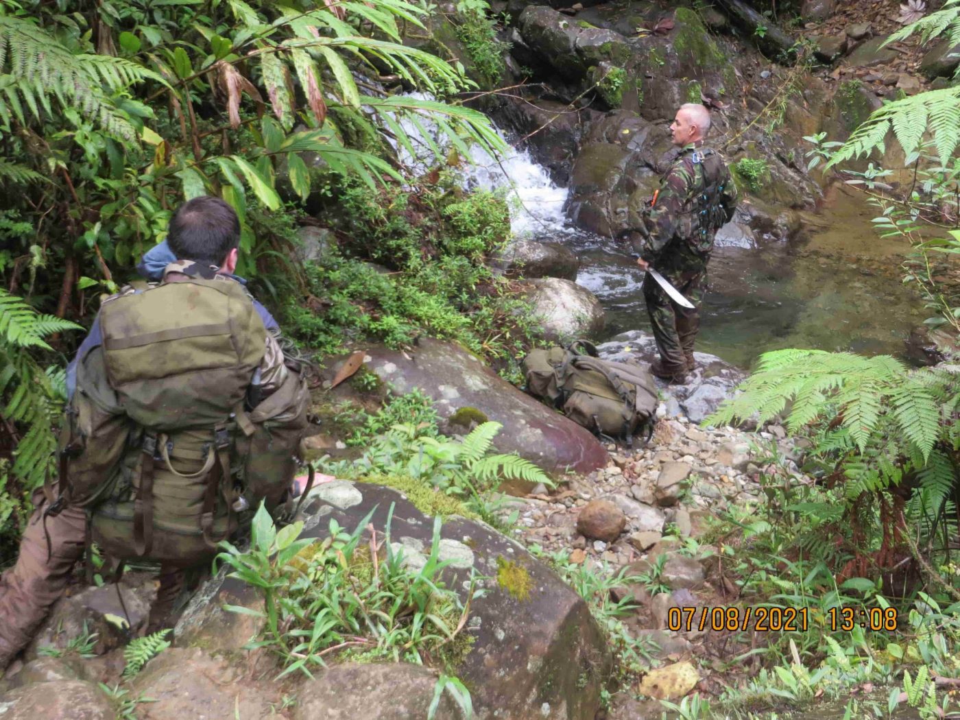
| 015 | 8.845214965 | -82.42420499 | 1,643 | 0114.JPG | River 3 – Post Mirador |
| 016 | 8.845742019 | -82.42439501 | 1,620 | 0227.JPG | Second Camp Location |
Note: Table last edited December 4, 2021
Photos References: Photos of each location are show below and labelled accordingly.
Coordinate Format: Lat/Lon hddd.ddddd°
Note: We tested our GPS devices both before visiting Panama and while we were in Boquete, prior to the expeditions. Even with the tree canopy and vegetation in Panama’s jungles, our GPS’s still proved to be accurate aside from an occasional outlier, which we corrected manually after the expeditions.
Expedition 1 Maps

Mapped Coordinates: JPEG/Flat Map (Large Resolution Version)
Mapped Coordinates: CalTopo Interactive Map
Photo References
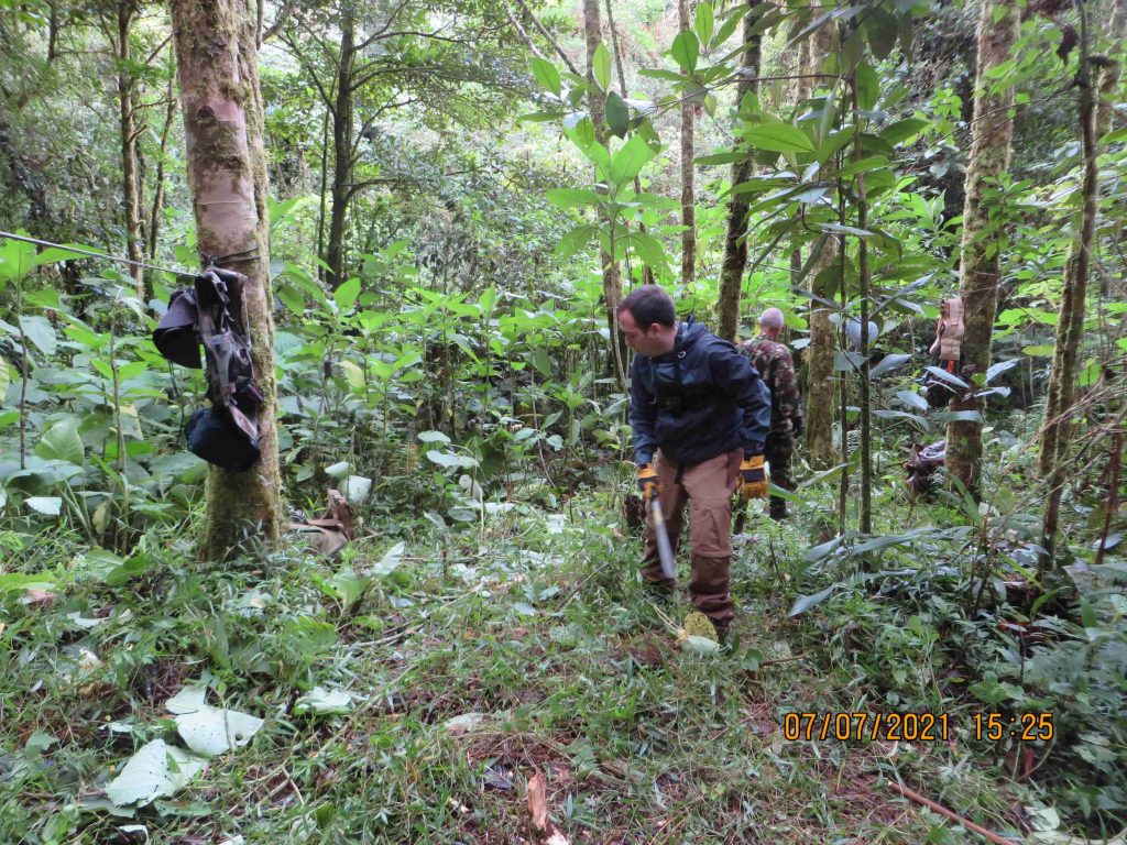
These are photos of each GPS coordinate listed in the table above. Each photo was taken with a Canon Powershot, unless otherwise noted. More photos will be published as we organize the information and determine the best format to publish bulk images.
Point 001: 0577.JPG
Point 002: 0067.JPG
Point 003: 0068.JPG
Point 004: 0080.JPG

Point 005: 0548.JPG
Point 006: 0540.JPG

Point 009: 0090.JPG
Point 010: 0538.JPG & 0532.JPG

Point 011: 0524.JPG
Point 012: 0107.JPG
Point 013: 0110.JPG
Point 014: 0113.JPG
Point 015: 0114.JPG
Point 016: 0227.JPG
Great work! This is awesome. I had always wondered what was beyond the trail after the last picture (photo 508) and what the girls may have encountered. Interesting they didn’t take a picture of the 3rd stream or did they (photo 509)?
Interesting to hear how difficult it was for you to setup camp and stay the night in the Jungle. Has always seemed strange to me how disciplined the girls were with their phone calls given what they were facing in staying overnight in that area.
What time was sunset at the time of their disappearance? Moon phase? My view is they met up with someone (singular or plural) and were convinced to explore an unknown trail or area not on the map worthy of observing. And also told them they knew the area quite well and not to worry about getting lost.The language of conversation would be of interest – Spanish, English or Dutch? Why was the taxi cab driver found dead from drowning – who else did he see besides the two gals?
Hi Paul,
Thank you for your interest in the case. Sunset on April 1, 2014 was at approximately 6:40PM in Boquete, Panama:
https://www.timeanddate.com/sun/panama/boquete?month=4&year=2014
Cheers
Thanks for this great research.
I have one question, is the 3rd stream the same one as on pictures #507 and #508?
Hi Laura,
Thank you for your comment. To answer your question, no – River 3 is further beyond where Photo #507 and #508 were taken, by approximately 20 minutes.
Cheers
Hi Chris and team!
Thanks again for sharing and I can’t wait for more to come.
So you have encountered a third stream (point 15) that crosses the trail and only 50 minutes away from the first stream post mirador (point 12)?
That spot looks like a natural swimming pool to me.
Has Yann been able to tell you the name of that stream?
Is it by any chance Quebrada Alejandro, mentioned specifically by the family’s lawyer?